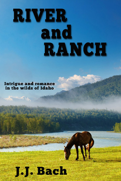
"River and Ranch background" seems to be a pretty good theme for this A-Z blogging challenge. Much of River and Ranch takes place on the other side of Lost Trail Pass, in Idaho. However, two of the main characters, Cale and Lane, are working on their PhDs in Geology at the University of Montana up in Missoula. To get to Idaho from Missoula, you go south, UP the Bitterroot Valley.
In this way do we arrive at the first cool thing about Bitterroot. In keeping with this notion of geology, the Bitterroot Valley is generally a north-south oriented feature. No big deal there. However, within that valley, the Bitterroot River flows NORTH, joining the Clark Fork river just west of Missoula. That would be the cool feature. From your childhood social studies you might remember the Nile over in Egypt, as perhaps the most prominent north flowing river on the planet. The Bitterroot joins that small club of north flowing rivers. So up the valley is down south. Downstream is up north.
Those map lovers in the crowd may have also noticed that the Middle Fork of the Salmon, another major feature in this book series, is also a north flowing river. One might wonder why two major rivers, fairly close together, both flow north. At a regional level, my first thought points at a centrally located uplift event on the North American continent that would serve to start water flowing north. The main bulk of the Rocky Mountains, mostly to the south of both rivers comes to mind. The Laramide orogeny is the geologic term for the continental plate deformation (aka upthrusting) that kicked off the ascent of the Rockies. That would be the event that gets my finger of blame for inspiring the northward flow of both the Bitterroot and the Middle Fork.
History provides another topic for Bitterroot. Lewis and Clark made their way over the southern terminus of the Bitterroot valley at Lost Trail Pass. The group made their way down the Bitterroot valley, all the way to the stream now known as Lolo. At that confluence they turned west and headed up the Lolo valley (Collins Creek), eventually topping out on Lolo Pass and descending down the Lochsa drainage and ultimately the Clearwater River, as the group made its way to the Pacific. Notes from both men reveal this segment of their journey to be among the most trying portions of their entire trip. Speaking of notes, many people have spent time retracing the path that Lewis and Clark chose as they crossed the continent. The Lewis and Clark Fort Mandan Foundation provides extensive content relating to the initial journey of discovery as well as the myriad followup expeditions that others made in an effort to retrace those famous first steps.

I always found Lewis and Clark to be fascinating. Interesting to hear more about their adventures.
ReplyDeleteThe LC Ft mandan site has content from some of the follow-on expeditions in the early 1900s, which I had no idea were ever done. Ferreting out the LC trail with info and tech available in 1902 was not a whole lot better than what they had in 1802....
DeleteLove everything Lewis and Clark. I'd love to have the virgin journey they had and live to tell about it.
ReplyDeleteI think about that too. I've been over Lolo Pass numerous times. There are several markers wrt the LC expedition. Today it is a tangled cluster which makes me wonder what it was like when they crossed with several feet of snow in addition to the tangle cluster. Impressive.
Delete